

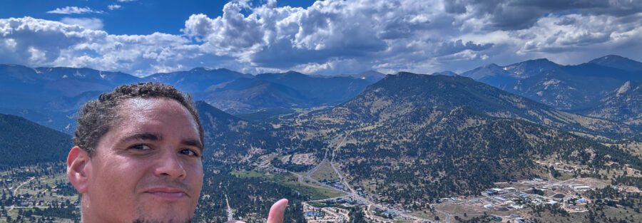
Rocky Mountain National Park is exactly what it promises and then some. The trails go hard, the scenic drives go higher, and Estes Park has at least one BBQ joint that would justify the drive on its own. This is the trip report from a multi-day visit that combined serious hike days with driving days and a recovery day with zero elevation gain. All of it delivered. The practical reality of RMNP first: Bear Lake Road is one of the most popular areas in one of the most visited national parks in the country. I read enough reviews to decide that 4 a.m. was the right wake-up time and 6 a.m. was the right trailhead time. That was the right call. When I got back from a combined 15-plus-mile day, the parking area was at full circus. Timed entry reservations are required May through October. Book at recreation.gov before you go. Without a reservation during peak season, you’re not getting into the Bear Lake Road corridor. Here’s how the trip went, trail by trail and drive by drive.
Day 1: Four Lake Loop Trail Combined with Sky Pond via Glacier Gorge
Looking at the map the night before, I realized combining the Four Lake Loop with Sky Pond only added a few miles to make one extended day through the full Bear Lake corridor. Easy decision.
| Trail | Four Lake Loop Trail |
| Distance | 7.2 miles (loop) |
| Elevation Gain | 1,351 feet |
| Difficulty | Moderate |
| Trail | Sky Pond via Glacier Gorge Trail |
| Distance | 8.6 miles roundtrip |
| Elevation Gain | 1,771 feet |
| Difficulty | Hard |
The Four Lake Loop visits five lakes despite the name: Nymph Lake, Dream Lake, Emerald Lake, Lake Haiyaha, and Bear Lake. Each one has a distinct character. Dream Lake at 6 a.m. with no one else there and Hallett Peak reflected in still water is one of the better alpine scenes I’ve found in Colorado. Emerald Lake earns the name. Lake Haiyaha is the one fewer people reach, which is part of what makes it worth the extra effort. Full guide with all the details: Four Lake Loop Trail After the Four Lake Loop I picked up the Glacier Gorge Trail toward Sky Pond. Alberta Falls is the first major stop, a 30-foot waterfall that most people turn around at. Past it, The Loch is a solid alpine lake with big peak views. Then the trail commits to the upper canyon and Timberline Falls arrives. Timberline Falls is where the real fun happens. The trail goes straight up the side of a 30-foot waterfall on wet rock. Full-send mode. Hands on the rock, water coming off the cliff around you, moving carefully but moving. Sketchy in the best way. Above the falls: Lake of Glass, which is a preview of the main event. And then Sky Pond, where I sat at the edge with feet in the water and ate lunch under Sharkstooth and Taylor Peak. One of the better moments of the year. Full guide: Sky Pond via Glacier Gorge Trail
Day 2: Gem Lake, Lumpy Ridge
Sore hamstrings from a 15-plus-mile day are a real thing. Gem Lake was the correct response: a shorter trail on the north side of Estes Park, off Lumpy Ridge, away from the Bear Lake corridor crowd.
| Trail | Gem Lake Trail |
| Distance | 3.2 miles roundtrip |
| Elevation Gain | 987 feet |
| Difficulty | Moderate |
The trail climbs through ponderosa pine with the granite domes of Lumpy Ridge visible above and the views of Estes Park opening up behind you as you gain elevation. Trail stairs are not my favorite, and this trail has them. My hamstrings made their feelings known. Worth it anyway. Gem Lake sits in a shallow granite bowl at the top, clear and small. I went in. Cold enough to fix the hamstrings, or at least make them forget about their complaints for a few minutes. Gem Lake is also meaningfully less crowded than the Bear Lake side. Lumpy Ridge is the other Rocky Mountain National Park, the one that doesn’t make the brochure as often. Worth knowing about. Full guide: Gem Lake Trail
Lake Estes Loop: A Recovery Walk
Day 2 also included a lap around Lake Estes on the flat loop path. 3.75 miles, no elevation gain worth mentioning, elk in the fields near the lake, mountain breeze, a total absence of trail stairs. My hamstrings were grateful. Elk sightings in Estes Park at dawn and dusk are a genuine thing: the town is elk country and they’re not shy about it. The Lake Estes loop is the right pace for the day after a 15-miler. 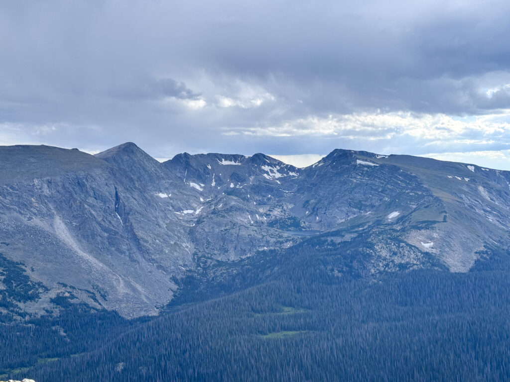
Scenic Drive: Old Fall River Road
Shout out to a newly purchased Toyota 4Runner going on its first adventure in Rocky Mountain National Park. Old Fall River Road was the obvious choice. Old Fall River Road is an 11-mile one-way dirt road from Horseshoe Park to the Alpine Visitor Center, the only unpaved road in the park. 4WD recommended. Estes handled it without drama, which is what you want on a 4Runner’s first real test. The road climbs through switchbacks with increasing views as you gain elevation, past Chasm Falls about 1 mile in (worth stopping, legitimately beautiful waterfall in a canyon), and eventually breaks above tree line around 11,000 feet. The transition from dense subalpine forest to open tundra at 12,000 feet is one of the more abrupt and complete environmental shifts I’ve experienced from a vehicle. One mile you’re in trees. The next you’re above all of them looking out across alpine tundra with the Continental Divide visible in both directions. The Alpine Visitor Center at the top of the drive connects directly to Trail Ridge Road. Full guide: Old Fall River Road
Scenic Drive: Trail Ridge Road
Trail Ridge Road is 48 miles of paved road running from Estes Park east to Grand Lake west, topping out at 12,183 feet. It’s the highest continuous paved road in the United States. You drive it in a regular car. The road has pullouts every few miles with views that some people drive hours to see. It’s accessible to anyone who can make the drive to Estes Park. Driving Trail Ridge Road after Old Fall River Road put the alpine environment into a different perspective. The tundra up there is fragile in ways you can’t appreciate from a photo: the plants are tiny and grow slowly at that altitude, and the NPS protects it aggressively. Stay on the pullout areas. Do not walk on the tundra. The road does the work. Combine Old Fall River Road one-way up and Trail Ridge Road back for the full scenic drive experience in a single afternoon. This is the recommended route if you’re doing both.
Estes Park Aerial Tram
I don’t usually do trams. I’m a hiker. But the Estes Park Aerial Tram to the summit of Prospect Mountain was a recommendation I followed, and it was a good one. Five-minute ride from the heart of town to the top. You can stay as long as you want. I walked less than a mile to the west summit viewpoint and sat down with the whole Estes Park valley laid out below, no elevation gain required. It’s a different kind of view from a different kind of effort. Worth doing at least once, especially after days that have already cost you a lot of hiking miles.
Where to Eat: Smokin’ Daves BBQ
The food situation in Estes Park is fine overall. But Smokin’ Daves BBQ is the specific recommendation that deserves its own section. It sits just outside the Bear Lake Road entrance to the park. The food is legitimately great, aggressively priced in the right direction, and the kind of place that makes you want to go back before you’ve finished your first meal. I tried to go back on the same trip. There was an hour wait. I was too hungry for that. Next time I’m in Estes Park, this is on the plan before anything else.
Planning Your Rocky Mountain National Park Visit
A few practical notes that apply across all of this:
Timed entry reservations are required May through October and are split by entry corridor. Bear Lake Road Corridor reservations and general park entry are separate and both can sell out. Book at recreation.gov before your trip. Arriving at 6 a.m. is still the right call even with a reservation, because the parking lots fill fast once the day starts. AllTrails has all the hikes in this post mapped with offline capability. Download everything before you drive into the park. Plan your Rocky Mountain National Park hikes on AllTrails and pull offline maps while you’ve got signal in Estes Park. No dogs on any trails in the park. Roosevelt National Forest outside the park boundaries has dog-friendly options if needed. The America the Beautiful Annual Pass covers the $35 vehicle entry fee and pays for itself in two visits. Worth having if this is part of a national park trip.
Chase the Quiet
Rocky Mountain National Park is one of the most visited national parks in the country. It can feel like that. But 4 a.m. wake-ups and a willingness to push past Timberline Falls still deliver the version of the park where you’re sitting at Sky Pond with your feet in the water and no one else around. The system rewards the early and the committed. That’s the version worth chasing.
Support the Adventure
To make your walls less boring, check out my photography portfolio and bring a piece of the wild and my story into your home. If you’d like to fuel future adventures, you can donate a coffee on Ko-Fi. Every cup keeps me chasing sunrises and stories. When you shop using my affiliate links, every click helps support this blog at no extra cost to you. It’s a small way to keep Unicorn Adventure alive and kicking while I keep exploring. Subscribe to my mailing list for future updates, new stories, and behind-the-scenes adventures. Stay connected with me on Instagram and Facebook for more photos and daily inspiration. Thanks for being part of the journey, Unicorn Squadron!

Theo Maynard is a landscape photographer and adventure blogger based in Salt Lake City. He chases remote desert and mountain light across the American West, documents it all solo, and shares the journey through Unicorn Adventure. He’s on the autism spectrum, and that’s not a footnote, it’s the whole story. He creates to inspire others to get outside, chase what lights them up, and live their best possible life. Unapologetically himself.