

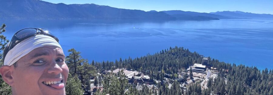
Stateline Overlook sits above the casino corridor on the Nevada side of Lake Tahoe, tucked behind a residential neighborhood on Kingsbury Grade. Most people driving Highway 50 through Stateline have no idea it’s there. The trail climbs 300 feet through Jeffrey pine forest to a viewpoint that spans the full Lake Tahoe basin, California on the western shore, Nevada stretching to the east, the Sierra Nevada filling the southern skyline. One point five miles round trip. No fee. Almost nobody else on the trail on a weekday morning. Underutilized trails with strong views are my specific kind of find. The Stateline casino strip is one of the louder environments in the basin. Five minutes up Tramway Drive and you’re in the forest with the whole lake below you and the noise behind you. That transition is worth the residential street parking situation.
Quick Facts
| Trail Name | Stateline Overlook Trail |
| Location | Kingsbury Grade area, Crystal Bay, Nevada (South Lake Tahoe) |
| Coordinates | 39.2374, -120.0040 (Tramway Drive Trailhead) |
| Distance | 1.5 miles (out and back) |
| Elevation Gain | 300 ft |
| Difficulty | Moderate |
| Time | 1.5 hours |
| Dogs Allowed | Yes, on leash |
| Fee | Free. No permit required. |
| Plan This Hike on AllTrails | |
How to Get There
The Stateline Overlook Trailhead is on Tramway Drive in a residential area above the Kingsbury Grade corridor. From South Lake Tahoe, head east on US-50 through Stateline into Nevada. Turn north (uphill) onto Kingsbury Grade Road (Nevada Route 207) and follow it up the mountain. Watch for Tramway Drive on your left. The trailhead is at the top of Tramway Drive where the road ends. GPS navigation to the Stateline Overlook Trailhead is the most reliable approach since the trailhead signage is minimal and the residential streets are easy to miss.
Parking Information
No designated parking lot exists. Park along the road near Tramway Drive following all posted street signs. Do not block driveways, fire hydrants, or fire lanes. The neighborhood is patrolled and tickets are issued. The parking situation is tight on weekends. Arrive before 8 a.m. on busy days or visit on a weekday. Carpooling helps. The trail is free and requires no permit.
Cell Service and Navigation
Cell coverage is solid along Kingsbury Grade and at the trailhead given proximity to the South Lake Tahoe metro area. Coverage holds well on the trail. Download the AllTrails map before leaving as standard practice. GPS is most useful for finding the trailhead itself in the residential street grid. Once on the trail the route is clear and easy to follow to the overlook. 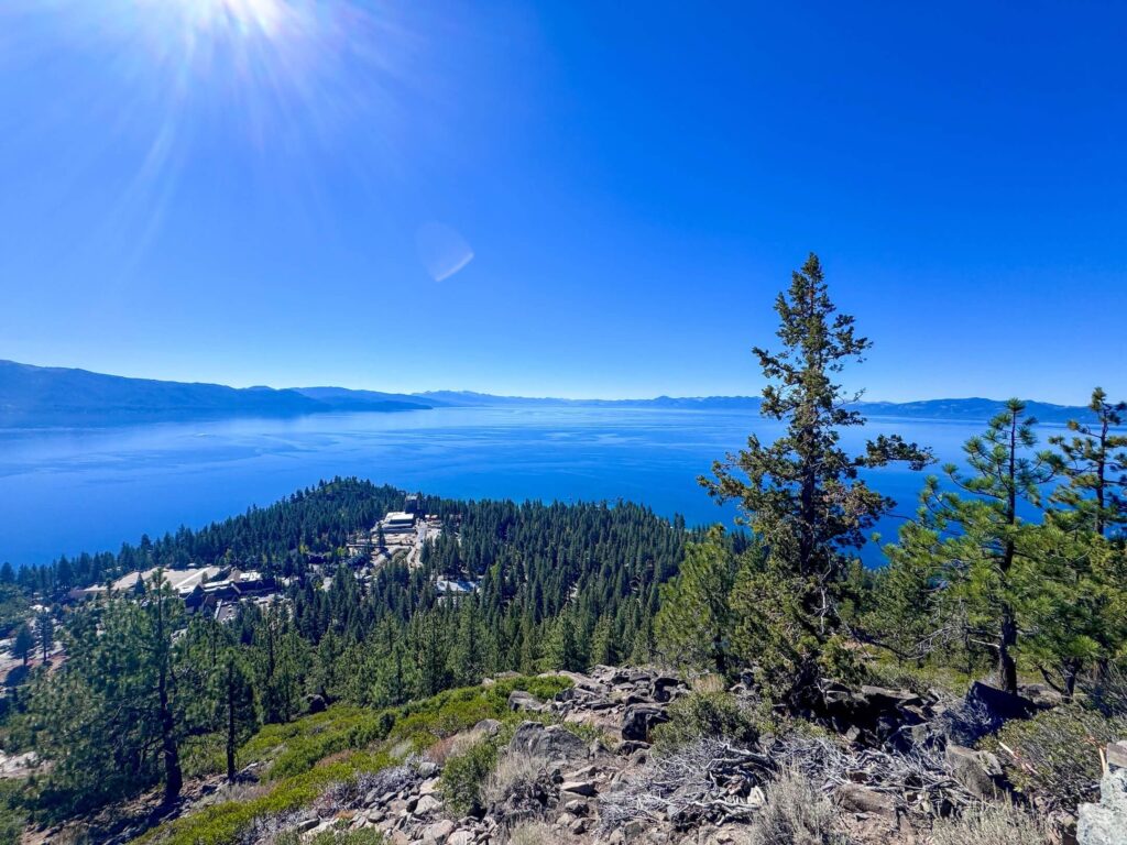
What to Expect on Stateline Overlook Trail
The Forest
The trail enters Jeffrey pine and Ponderosa pine forest immediately at the trailhead and climbs steadily through the trees on a well-maintained dirt path. The forest is dense enough to provide shade for most of the climb and the canopy gives the trail a quieter, cooler character than the exposed lake-level trails on the Nevada side. Glimpses of Lake Tahoe appear through breaks in the trees as you gain elevation, teasing the full view that waits at the top.
The Overlook
The overlook opens abruptly at the top of the climb. The full Lake Tahoe basin spreads below in a panorama that runs from the California shore on the west to the Nevada high desert terrain to the east, with the Sierra Nevada filling the southern horizon and the Crystal Bay corridor visible to the north. The California-Nevada state line runs through the basin below the viewpoint, visible in the contrast between the densely forested California shoreline and Nevada’s more open terrain on the eastern side. On clear days the lake’s blue is distinct and deep from this elevation. Morning light from the east hits the California shore first and is the best photography window. 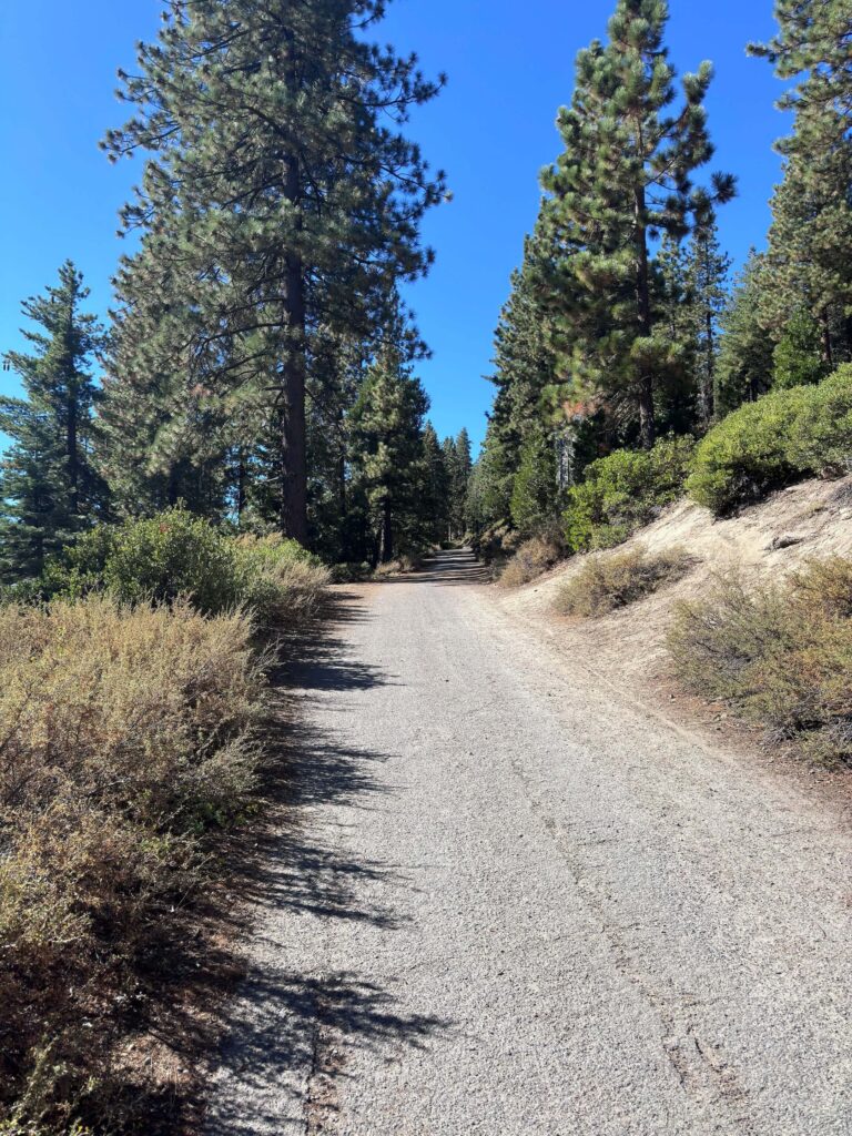
The Quiet
This is a low-traffic trail by Lake Tahoe standards. The combination of the residential trailhead, the minimal signage, and the proximity to the higher-profile casino attractions below means most visitors to the South Lake Tahoe area never find it. That works in your favor. Weekday mornings in particular give you the overlook entirely to yourself. The forest section is quiet in a way the lake-level trails are not, removed from road noise and boat traffic. The overlook itself catches whatever breeze is moving across the basin.
Trail Difficulty and Length
Stateline Overlook is 1.5 miles out and back with 300 feet of elevation gain. The moderate rating reflects the sustained incline through the forest section rather than any technical terrain. The trail surface is packed dirt with some rocky sections. Sturdy trail shoes handle it well. No scrambling, no exposure, no challenging route-finding. Appropriate for most fitness levels with some hiking experience. The incline is steady but manageable and the 1.5-mile total distance keeps the effort in check. 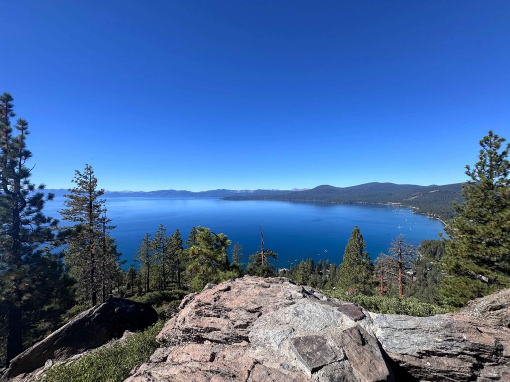
Dog Friendly?
Dogs are welcome on leash. The forested trail is shaded and comfortable for dogs on most days. No water sources exist on trail, bring water for your dog. The rocky sections near the overlook edge require attention for smaller breeds. Pack out all waste. The residential trailhead means keeping your dog under control from the moment you leave the car.
What to Bring
At least a liter of water per person. No shade at the overlook and the Tahoe basin sun reflects off the lake. Sunscreen and a hat. Comfortable trail shoes for the rocky sections near the top. A camera. The panoramic view rewards a wide lens for the full basin shot and a telephoto for picking out lake detail and the California-Nevada shoreline contrast.
Best Time to Hike Stateline Overlook
Late spring through fall is the accessible season, typically May through October. Snow covers the trail from late fall through early spring. Summer is the busiest season at Lake Tahoe overall but Stateline Overlook stays quieter than the main trailheads. Weekday mornings in summer are the best combination of good weather, calm lake surface for photography, and thin crowds. Fall is excellent: cooler temperatures, the aspens beginning to turn in the canyon corridors visible from the overlook, and the lake at its deepest blue of the year. Check current snow conditions before planning any late May or October visit.
Rules and Regulations
Stateline Overlook Trail sits within the Lake Tahoe Basin Management Unit. Stay on the designated trail. No campfires on the trail or at the overlook. No camping. Dogs on leash at all times. Pack out all waste. Respect the residential neighborhood at the trailhead, keep noise low and do not block private property. Seasonal fire restrictions apply in the Lake Tahoe Basin, check current status with the USDA Forest Service before visiting during high fire risk periods.
Where to Stay Near South Lake Tahoe
South Lake Tahoe has the broadest lodging range in the Tahoe basin, from lakefront resorts to budget motels along US-50. The Stateline casino corridor on the Nevada side has full-service resort hotels a few minutes from the trailhead. Marriott Bonvoy covers Lake Tahoe area properties. Hilton Honors has options in the South Lake area. The Edgewood Tahoe Resort near the trailhead on the Nevada side is the upscale lakefront option closest to the Stateline Overlook trailhead.
Camping Nearby
Campgrounds in the South Lake Tahoe and Nevada side corridor include several developed Forest Service and state park options. Fallen Leaf Campground near Fallen Leaf Lake on the California side is a strong option with lake access and proximity to Desolation Wilderness. Camp Richardson on the South Lake Tahoe shore is the most centrally located developed campground for anyone combining hiking with lake access. Reservations required for developed sites in summer. Reserve through recreation.gov well in advance for summer dates.
Nearby Adventures
The Tahoe Rim Trail passes through the Kingsbury Grade area and is accessible for extended hiking from the trailhead vicinity, offering backcountry miles with consistent lake views in both directions. Van Sickle Bi-State Park is a short drive from Stateline Overlook with several trail options ranging from easy shoreline walks to more challenging routes with historic sites. The Granite Lake and Maggie’s Peak hike on the California side is a 4-mile hard trail with 1,800 feet of gain to an alpine lake and Lake Tahoe summit view, the most demanding hike near South Lake Tahoe. The Heavenly Gondola from Heavenly Village provides a non-hiking way to gain elevation with lake views. Zephyr Cove Beach on the Nevada side is the best beach access near the Stateline area for post-hike water time. The Sand Harbor Clear Kayak Tour is about 20 minutes north on Nevada Route 28, a two-hour guided clear kayak experience with the best underwater lake views in the basin.
Plan This Hike
AllTrails has Stateline Overlook documented with GPS track, which is most useful for navigating the residential streets to the trailhead rather than the trail itself. Download the offline map before leaving South Lake Tahoe. Plan your hike on AllTrails here.
Chase the Quiet
Standing at Stateline Overlook on a Tuesday morning with the whole Lake Tahoe basin below and the casino corridor invisible behind the ridge. Two states, one lake, the Sierra Nevada in the background. The trail took 45 minutes. The parking was the most complicated part. That ratio is exactly what makes this one worth knowing about.
Support the Adventure
To make your walls less boring, check out my photography portfolio and bring a piece of the wild and my story into your home. If you’d like to fuel future adventures, you can donate a coffee on Ko-Fi. Every cup keeps me chasing sunrises and stories. When you shop using my affiliate links, every click helps support this blog at no extra cost to you. It’s a small way to keep Unicorn Adventure alive and kicking while I keep exploring. Subscribe to my mailing list for future updates, new stories, and behind-the-scenes adventures. Stay connected with me on Instagram and Facebook for more photos and daily inspiration. Thanks for being part of the journey, Unicorn Squadron!

Theo Maynard is a landscape photographer and adventure blogger based in Salt Lake City. He chases remote desert and mountain light across the American West, documents it all solo, and shares the journey through Unicorn Adventure. He’s on the autism spectrum, and that’s not a footnote, it’s the whole story. He creates to inspire others to get outside, chase what lights them up, and live their best possible life. Unapologetically himself.