

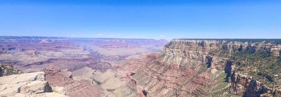
The Grand Canyon’s Rim Trail does the thing the canyon’s bigger commitments don’t: it gives you the full force of the view without asking you to descend into the chaos. This segment hits three critical viewpoints on the South Rim, Maricopa Point, Powell Point, and Hopi Point, each with something distinct to show you. The Colorado River snaking below. The layered rock formations. The light changing across miles of stone. It’s an easy walk for almost anyone, and the scale of what you’re standing above never lets you forget where you are.
Quick Facts
| Location | Grand Canyon National Park, South Rim, Arizona |
| Coordinates | 36.0573 N, 112.1458 W |
| Distance | 4.5 miles (out-and-back along the rim) |
| Elevation Gain | ~450 feet |
| Difficulty | Easy |
| Time | 2-3 hours |
| Dogs Allowed | Yes, on leash |
| Fee | $35 per vehicle (7-day pass); America the Beautiful Pass accepted |
| View on AllTrails | |
How to Get There
The Rim Trail is accessible from Grand Canyon Village on the South Rim. For this segment, start near the Village Route Transfer Station and head westward along Hermit Road. During peak season (March through November), private vehicles are restricted on Hermit Road, so use the park’s free shuttle service. Off-season, you can drive directly to the viewpoints. From Flagstaff, take US-180 northwest about 80 miles to the South Rim entrance. Plan about 1.5 hours. From Williams, take AZ-64 north about 60 miles to the same entrance. Plan about an hour. From Phoenix, allow 3.5-4 hours via I-17 north to Flagstaff and then US-180 to the park. Park entry is $35 per vehicle for a 7-day pass. America the Beautiful Annual Pass covers Grand Canyon entry. Payment at entrance stations is credit card only.
Parking Information
Park at the Grand Canyon Visitor Center for direct shuttle access to Hermit Road and the Rim Trail viewpoints. Parking Lot D near the Backcountry Information Center is the secondary option. The South Rim parking situation is real, especially in summer. Arrive before 9 a.m. on peak days or plan to circle for a while. 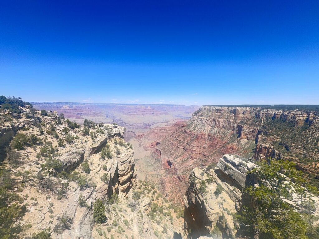
Cell Service and Navigation
Cell coverage is present in Grand Canyon Village and patchy along the Rim Trail itself. Download AllTrails offline before arriving as standard practice. The Rim Trail is paved and heavily trafficked; navigation is not a challenge on this route. The shuttle stops are clearly signed at each viewpoint.
What to Expect on the Rim Trail
The Path
The Rim Trail here is well-maintained and mostly paved. It’s flat to gently rolling, easy walking with no scrambling and no technical terrain. Families, kids, older visitors, and casual hikers can all do it. The trail is heavily trafficked, so you won’t be alone, but that comes with the territory on the South Rim.
The Viewpoints
Maricopa Point is a narrow promontory with sweeping vistas to the west across the canyon. Powell Point features a monument honoring John Wesley Powell, the explorer who led the first documented descent of the Colorado River through the canyon in 1869. Hopi Point extends the furthest into the canyon and offers the most expansive view of any of the three. The Colorado River winds visibly below from Hopi Point on clear days, a thin ribbon of green a mile down.
The Scale
Standing on the rim, the canyon’s scale is what registers first. A mile across in places. A mile deep. The Colorado River is a ribbon from up here. The buttes and formations layered in reds, browns, purples, and grays look abstract from this distance, like geological art on a scale that’s hard to process. Even with crowds, there’s a silence to the canyon that settles in once you’ve been standing for a few minutes.
Trail Difficulty and Length
The Rim Trail from Maricopa Point to Hopi Point is 4.5 miles out-and-back with about 450 feet of cumulative elevation change. Easy is accurate. The trail is paved and well-maintained throughout. You can move slow, stop at each viewpoint, sit and process, and still finish comfortably in 2-3 hours. This isn’t a workout. This is about the view and what it does to your sense of scale. 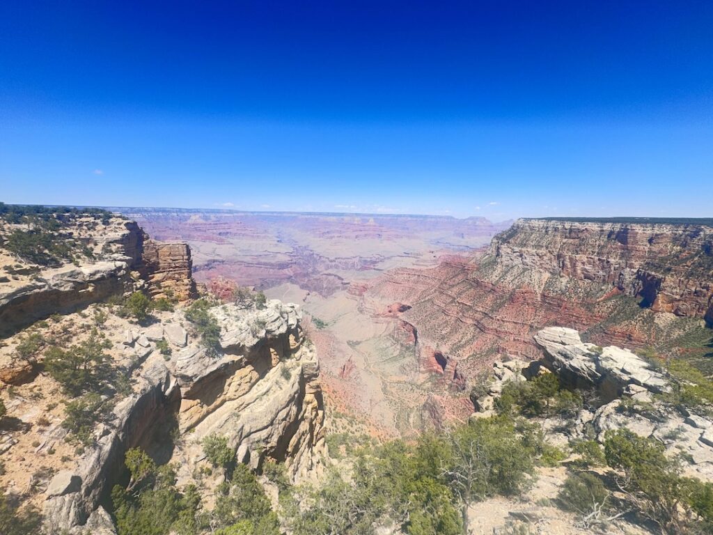
Dog Friendly?
Yes. Leashed pets are welcome on the Rim Trail, one of the few Grand Canyon trails that allows them. Dogs are not allowed on shuttle buses or below the rim on any trail descending into the canyon. The Grand Canyon Kennel near Maswik Lodge offers boarding if you’re combining the Rim Trail with a canyon descent. Bring extra water for your dog; the rim is exposed and the sun is intense.
What to Bring
Water and sun protection are the basics. Even on a 4.5-mile easy trail at the rim, the elevation (around 7,000 feet) and the exposure dehydrate you faster than expected. Sunscreen, a hat, and sunglasses. Layers for temperature swings between sun and shade. Binoculars to spot details in the rock formations and the river below. A camera with a wide-angle lens and a telephoto for the layered formations. Bug protection in summer; the rim has flies that aren’t aggressive but are persistent. 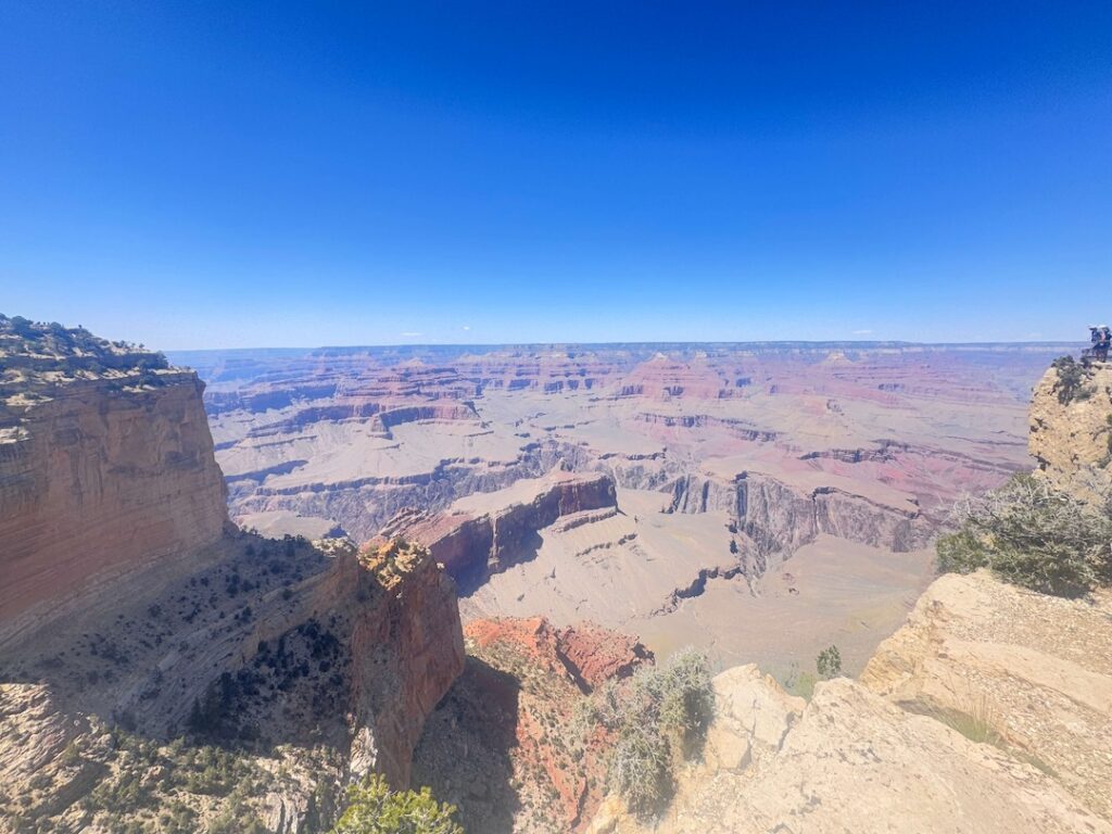
Best Time to Hike the Rim Trail
Spring (April through June) and fall (September through October) are the most comfortable windows. Mild temperatures, clearer skies, and fewer crowds than summer. Summer is hot and busy; the rim is exposed and the sun is direct from late morning through mid-afternoon. Hopi Point is especially popular for sunrise and sunset, so plan accordingly if you want either. Winter offers solitude and occasionally snow on the canyon rim, but requires caution for icy sections on the paved path.
Rules and Regulations
Grand Canyon National Park rules apply. Stay on designated trails and behind the rim guardrails where they exist. Do not feed wildlife. Pack out all trash. Leave No Trace principles throughout. No drones anywhere in the park. The $35 vehicle entry fee or America the Beautiful Pass is required. Payment at entrance stations is credit card only.
Where to Stay Near the Grand Canyon
Tusayan is the closest town just outside the park’s south entrance. Grand Canyon Village inside the park has the historic lodging options including El Tovar Hotel. Flagstaff, about 80 miles south, is the larger base with full lodging infrastructure.
Camping Nearby
Mather Campground and Desert View Campground both operate inside the park with full amenities and basic services. Sites book up months in advance for peak season; reserve through recreation.gov. Outside the park, Kaibab National Forest has dispersed camping along forest service roads near the south entrance, free and primitive with a 14-day stay limit. Private campgrounds in Tusayan and Williams are the developed-camping alternatives if park sites are full.
Nearby Adventures
The South Kaibab Trail to Skeleton Point is the step-down-into-the-canyon option: 5.8 miles roundtrip with 2,027 feet of gain on the return. Significantly harder than the Rim Trail and not dog-friendly, but the inside-the-canyon perspective is a different category of experience entirely. Bright Angel Trail is the other major South Rim descent and the one with rest houses and water sources, which makes it the safer day-hike option than South Kaibab if you want to drop below the rim. Hermit Trail is less crowded but more technical. The Rim Trail itself continues beyond Hopi Point to Mohave Point and The Abyss for hikers who want more rim distance. Off the trail, the Yavapai Geology Museum is a short walk along the rim from the visitor center and explains the rock layers you’ve been looking at. Kolb Studio at the head of Bright Angel Trail has historic photography exhibits from early canyon exploration. Desert View Drive runs 25 miles east of the village to the Desert View Watchtower, one of the most photographed structures in the park.
Plan This Hike
AllTrails has the Rim Trail mapped with offline capability and current conditions. Download before entering the park while you’ve got signal in Tusayan or Flagstaff. Plan your visit on AllTrails and pull the offline map before you arrive.
Chase the Quiet
The Grand Canyon is one of those places that changes how you see everything. Standing on the rim, watching the light move across layers of rock that took millions of years to form, you feel small. Not insignificant. Small. Like you’re part of something much larger and older than you. The Rim Trail makes that available to anyone who can walk a few miles on a paved path. That’s a generous offering from a landscape that doesn’t owe you anything.
Support the Adventure
To make your walls less boring, check out my photography portfolio and bring a piece of the wild and my story into your home. If you’d like to fuel future adventures, you can donate a coffee on Ko-Fi. Every cup keeps me chasing sunrises and stories. When you shop using my affiliate links, every click helps support this blog at no extra cost to you. It’s a small way to keep Unicorn Adventure alive and kicking while I keep exploring. Subscribe to my mailing list for future updates, new stories, and behind-the-scenes adventures. Stay connected with me on Instagram and Facebook for more photos and daily inspiration. Thanks for being part of the journey, Unicorn Squadron!

Theo Maynard is a landscape photographer and adventure blogger based in Salt Lake City. He chases remote desert and mountain light across the American West, documents it all solo, and shares the journey through Unicorn Adventure. He’s on the autism spectrum, and that’s not a footnote, it’s the whole story. He creates to inspire others to get outside, chase what lights them up, and live their best possible life. Unapologetically himself.