

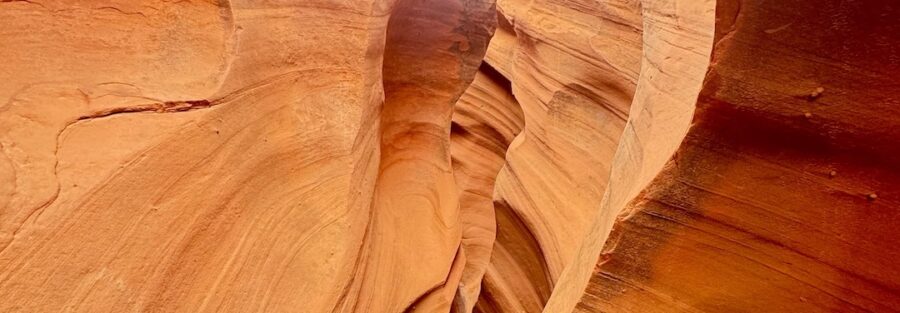
Leprechaun Canyon is the slot canyon on Highway 95 that most people drive past. The parking pull-off is small, the signage is minimal, and that’s exactly why it stays good.
Leprechaun Canyon is accessed off Utah Highway 95, about 25 miles south of Hanksville in the San Rafael Swell country. The route covers 2.2 miles round trip with 147 feet of gain through a narrow sandstone slot that twists and tightens as you go deeper. The lower section is accessible. The upper section requires scrambling and some squeezing through tight passages. The walls shift color with the light, from deep red to warm orange to pale tan, and the geology gets more dramatic the further you push in.
Here’s what you need to hike Leprechaun Canyon.
Quick Facts
| Trail Name | Leprechaun Canyon |
| Location | Off Highway 95, near Hanksville, Utah |
| Coordinates | 38.0178, -110.5370 |
| Distance | 2.2 miles (round trip) |
| Elevation Gain | 147 feet |
| Difficulty | Moderate |
| Time | 1.5-3 hours |
| Dogs Allowed | Not recommended (technical terrain) |
| Fee | None |
| AllTrails | View on AllTrails |
How to Get There
From Hanksville, head south on Highway 95 for approximately 25 miles. The trailhead is a small unpaved pull-off on the right side of the road. It’s easy to miss at highway speed. Load the coordinates (38.0178, -110.5370) before leaving Hanksville and watch your odometer. From the south, the pulloff is accessible from the Highway 95 corridor between Natural Bridges National Monument and Hanksville. The road itself through this stretch is one of the more scenic highway drives in southern Utah.
Parking Information
The parking area is a gravel pull-off that holds a handful of vehicles. No fee, no facilities, no restrooms. Handle everything in Hanksville before heading out. The lot fills on popular spring and fall weekends but is rarely crowded compared to the more accessible canyons in the area. Arrive early to guarantee a spot and get the morning light in the canyon.

Cell Service and Navigation
No cell service on Highway 95 in this corridor or inside the canyon. Download your map offline through AllTrails before leaving Hanksville. Flash flood risk is serious in slot canyons. Check the weather forecast for the full drainage watershed before heading in, not just the local forecast at the trailhead. If rain is in the forecast anywhere upstream, don’t enter the canyon. The San Rafael Swell can funnel water fast through narrow slots with no warning.
What to Expect on Leprechaun Canyon
The Lower Canyon
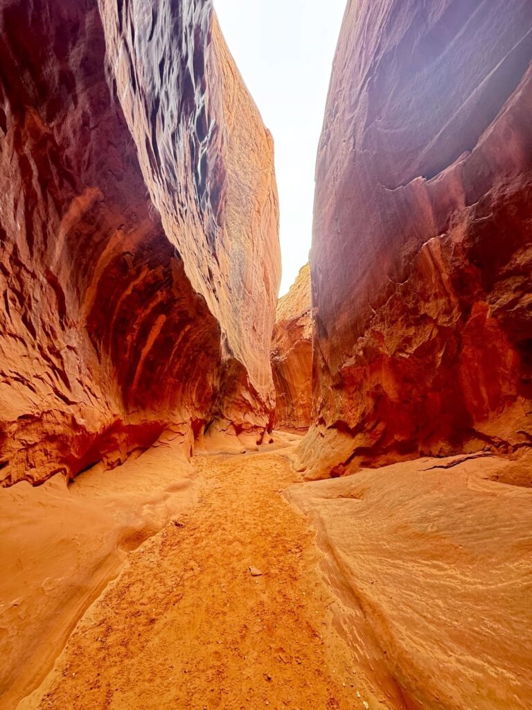
The trail starts from the Highway 95 pull-off and drops into the canyon quickly. The lower section is the most accessible part of the route, with wider walls and easier footing. The sandstone is banded in layers that shift color depending on the angle of the light. Morning light coming in from above hits the east-facing walls and illuminates the texture of the rock in ways that midday sun flattens out. The lower canyon works well for hikers of most fitness levels and is the natural turnaround for anyone not comfortable with scrambling.
The Upper Canyon
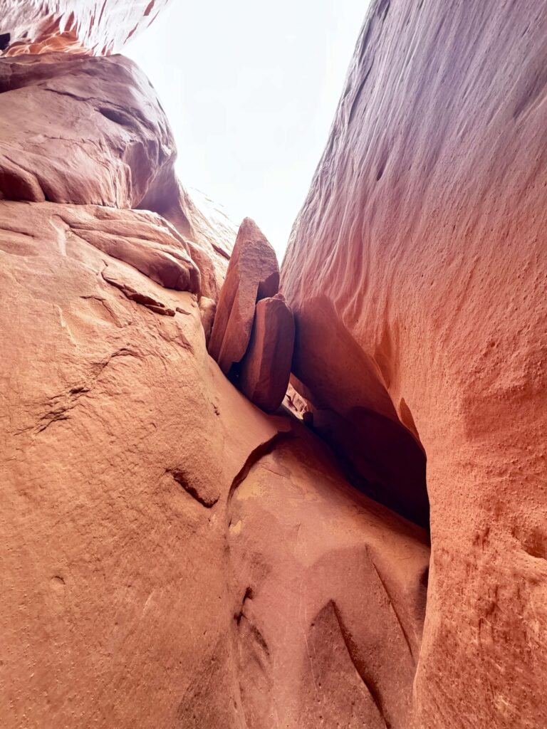
The canyon narrows progressively as you go deeper. The upper sections require squeezing through tight passages and scrambling over and between boulders. Nothing requires technical climbing gear, but you need to be comfortable moving your body through constricted spaces and making judgment calls about footing. This is where the canyon earns the moderate rating. The walls press close enough in spots that larger packs won’t fit through. Go minimalist on gear if you’re pushing the upper section.
Trail Difficulty and Length
Leprechaun Canyon is 2.2 miles round trip with 147 feet of elevation gain. The moderate rating is accurate for hikers who push into the upper technical sections. For hikers staying in the lower canyon the terrain is easy. Budget 1.5 to 3 hours depending on how far you go and how long you spend working through the technical sections. The return through the narrow upper passages on tired legs requires the same focus as the approach.
Dog Friendly?
Not recommended. The tight upper sections are too constricted for most dogs to navigate safely and the scrambling moves can strand a dog in a position it can’t get out of without help. The lower canyon is manageable for small dogs but it’s not worth the risk of getting stuck in the upper reaches. Leave dogs at the campsite or in a shaded vehicle with water for this one.

What to Bring
At least 2 liters of water per person. The canyon is short but remote and there are no water sources. Sun protection for the approach from the highway to the canyon entrance. A headlamp for the darker interior sections of the upper canyon. Shoes with solid grip and flexibility for scrambling and squeezing, not stiff boots. A small pack or no pack at all for the upper technical sections where width matters. A camera with a wide-angle lens for the canyon interior and a phone with the offline map loaded. Flash flood kit mentality: know what the weather is doing before you go in.
Best Time to Hike Leprechaun Canyon
Spring (March through May) and fall (September through November) are the best windows. Temperatures are manageable and the canyon light is excellent. Summer temperatures on Highway 95 and at the canyon entrance regularly exceed 100°F. If you go in summer, start before 7 a.m. and be out of the canyon before 10. Winter is doable in mild years but cold nights can ice sections of the upper canyon. Flash flood season peaks in late summer monsoon season. Avoid any canyon entry if there’s rain in the forecast for the surrounding area.
For photography, morning light is significantly better than afternoon in the lower canyon. The warm east-facing walls catch the first light and the banding in the rock is most vivid before the sun moves overhead. In the tight upper sections, diffused light from the slot opening above renders the sandstone texture evenly without harsh shadows. A wide-angle lens works for the full wall-to-wall canyon shots. A 35mm or 50mm equivalent isolates individual rock textures and color bands.

Rules and Regulations
Leprechaun Canyon is BLM land. No permits, no fee. Leave No Trace fully: pack out everything, don’t build cairns or disturb the canyon surfaces, and stay on established lines through the technical sections to prevent erosion. Flash flood risk is real and not exaggerated. Do not enter any slot canyon if precipitation is in the regional forecast. Check conditions with the BLM Price Field Office or Hanksville visitor information before heading out.
Where to Stay Near Hanksville
Hanksville has a handful of motels and basic lodging options that work as a base for San Rafael Swell and Highway 95 corridor trips. For more amenities, Moab is about 2 hours east with full hotel inventory. Green River, about 1.5 hours north on I-70, is another chain-lodging corridor for this area. For points travelers, check available Marriott Bonvoy properties, IHG Rewards hotels, and Hilton Honors options in Moab, Green River, or Salt Lake City along your route.

Camping Nearby
Dispersed BLM camping is available throughout the San Rafael Swell and along Highway 95. The area is one of the better dispersed camping landscapes in Utah: remote, minimal infrastructure, exceptional sky. Goblin Valley State Park, about 30 minutes north, has a campground with electric hookups reservable through Utah State Parks.
Nearby Adventures
Little Wild Horse Canyon (8.0 mi / 787 ft) is the premier slot canyon loop in the area, accessible from the Bell/Little Wild Horse trailhead about 30 minutes northwest. It’s longer and more dramatic than Leprechaun with the added bonus of a full loop format that never repeats terrain.
Goblin Valley State Park is about 30 minutes north and one of the most distinctive landscapes in southern Utah. The Valley of the Goblins is open exploration through thousands of sandstone hoodoos. The Goblin’s Lair Trail adds a cavern destination to the same park day. Both are worth pairing with a Leprechaun Canyon trip.
Natural Bridges National Monument is about 40 minutes south on Highway 95 and has three massive natural bridges accessible via a loop drive with short hike options at each. It’s one of the less-visited national monuments in Utah and worth a half-day.
Closer to the Escalante corridor, Lower Calf Creek Falls (6.1 mi / 531 ft) and Moki Dugway are worth building into a multi-day Highway 95 road trip through the canyon country.
Plan This Hike
AllTrails has Leprechaun Canyon with a downloadable map and recent user conditions. Given the remote location, checking recent user reports for current canyon conditions and flash flood risk assessment from hikers who’ve been there recently is the most practical pre-trip research tool available.
AllTrails Pro is worth it for a Highway 95 corridor trip where you’re navigating multiple objectives across a remote stretch with zero cell service. Download maps for Leprechaun, Little Wild Horse, and Goblin Valley before you leave Hanksville.
Chase the Quiet
Highway 95 is one of the great desert drives in the American West and Leprechaun Canyon is the kind of stop that most people blow past at 70 mph. The pull-off is small, the canyon is narrow, and the upper sections require actual effort. What’s inside is banded sandstone walls pressing in from both sides, absolute quiet except for the sound of your shoes on rock, and the feeling of being in a place that hasn’t been domesticated. That feeling is harder to find than it used to be. Leprechaun still has it.
Support the Adventure
To make your walls less boring, check out my photography portfolio and bring a piece of the wild and my story into your home.
If you’d like to fuel future adventures, you can donate a coffee on Ko-Fi. Every cup keeps me chasing sunrises and stories.
When you shop using my affiliate links, every click helps support this blog at no extra cost to you. It’s a small way to keep Unicorn Adventure alive and kicking while I keep exploring.
Subscribe to my mailing list for future updates, new stories, and behind-the-scenes adventures.
Stay connected with me on Instagram and Facebook for more photos and daily inspiration.
Thanks for being part of the journey, Unicorn Squadron!

Theo Maynard is a landscape photographer and adventure blogger based in Salt Lake City. He chases remote desert and mountain light across the American West, documents it all solo, and shares the journey through Unicorn Adventure. He’s on the autism spectrum, and that’s not a footnote, it’s the whole story. He creates to inspire others to get outside, chase what lights them up, and live their best possible life. Unapologetically himself.