

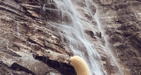
Salt Lake City is surrounded by canyons, and most of those canyons have waterfalls worth hiking to. The range is wide: a 0.2-mile roadside stop to a 6-mile strenuous canyon climb, accessible falls for families and remote cascades that most people never find. I’ve done every trail on this list. Here’s what each one actually delivers.
1. Bridal Veil Falls
| Distance | Under 0.5 miles (round trip) |
| Elevation Gain | Minimal |
| Difficulty | Easy |
| Dogs Allowed | Yes (on leash) |
Bridal Veil Falls drops over 600 feet in a multi-tiered cascade visible from Provo Canyon Road (US-189). The lower viewpoint is accessible via a paved path under half a mile from the roadside pullout. This is the most accessible waterfall on this list. Families, beginners, people who just want to see something dramatic without effort: Bridal Veil is the answer. Spring snowmelt is peak flow. It’s worth stopping any time you’re driving through Provo Canyon. Full guide: Bridal Veil Falls Trail Guide 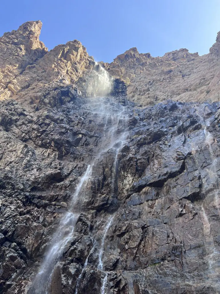
2. Donut Falls
| Distance | 1.5 miles (round trip) |
| Elevation Gain | 300 feet |
| Difficulty | Easy |
| Dogs Allowed | No (watershed) |
Donut Falls is the waterfall that pours through a circular hole in the rock. The effect is exactly what the name suggests and it’s more impressive in person than any photo captures. The trail is 1.5 miles round trip with 300 feet of gain through shaded Big Cottonwood Canyon forest. The final approach involves a short scramble on wet rock. Families with children handle it fine. Spring and early summer deliver the strongest flow. No dogs due to Big Cottonwood Canyon watershed restrictions. Full guide: Donut Falls Trail Guide 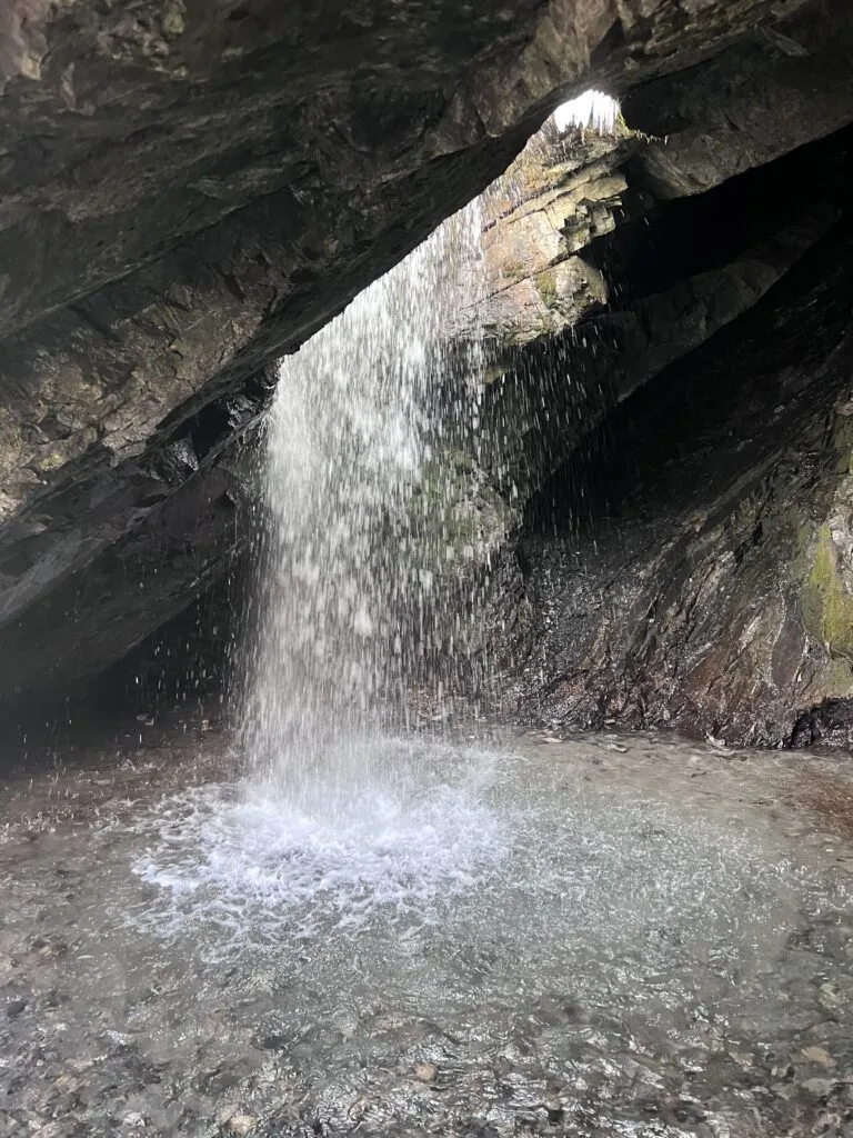
3. Lisa Falls
| Distance | 0.2 miles (round trip) |
| Elevation Gain | 75 feet |
| Difficulty | Easy |
| Dogs Allowed | No (watershed) |
Lisa Falls is 0.2 miles from the pullout on Little Cottonwood Canyon Road. It drops down a smooth granite face in a shaded setting with aspen and conifer on both sides. It’s the quickest waterfall stop on this list and consistently underutilized because most people drive past without slowing down. Go in spring and early summer for the strongest flow. No dogs due to Little Cottonwood Canyon watershed restrictions. Full guide: Lisa Falls Trail Guide 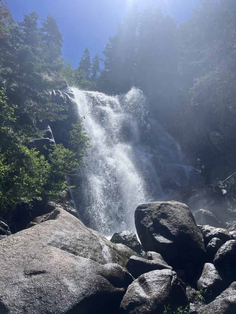
4. Stewart Falls
| Distance | 3.5 miles (round trip) |
| Elevation Gain | 700 feet |
| Difficulty | Moderate |
| Dogs Allowed | Yes (on leash) |
Stewart Falls drops 200 feet in a two-tiered cascade against the backdrop of Mount Timpanogos. The trail is 3.5 miles round trip with 700 feet of gain, accessible from the Aspen Grove Trailhead near Sundance Resort. The Timpanogos massif above the falls makes this one of the most photogenic waterfall settings in the state. Dogs are allowed on leash. Spring through early fall is the best window. The drive up Provo Canyon and American Fork Canyon to the trailhead is scenic in its own right. Location: Stewart Falls Trail Guide 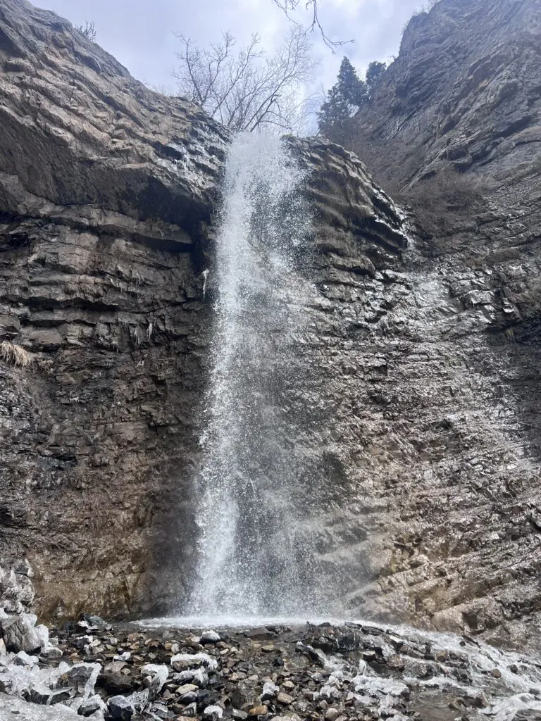
5. Waterfall Canyon
| Distance | 2.5 miles (round trip) |
| Elevation Gain | 1,100 feet |
| Difficulty | Moderate |
| Dogs Allowed | Yes (on leash) |
A 200-foot waterfall at the end of a canyon that starts at a city street in Ogden. The trail climbs 1,100 feet over 2.5 miles through scrub oak and into the canyon, with the falls visible in a shaded alcove at the top. It’s one of the more dramatic waterfalls accessible from an urban trailhead in Utah. The approach is steep. Spring and early summer deliver the strongest flow. Dogs allowed on leash. Full guide: Waterfall Canyon Trail Guide 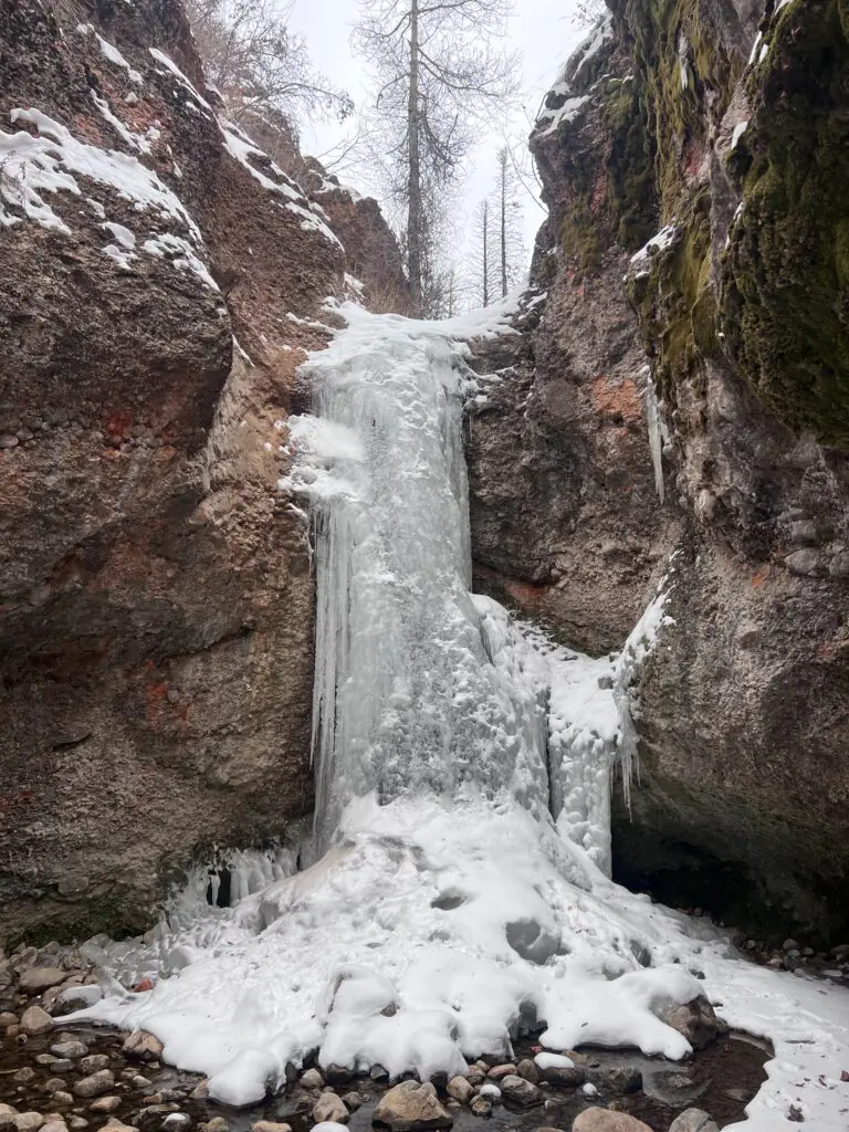
6. Lower Falls via Bell Canyon Trail
| Distance | 4.8 miles (round trip) |
| Elevation Gain | 1,600 feet |
| Difficulty | Moderate to Strenuous |
| Dogs Allowed | No (HOA/watershed) |
Bell Canyon Trail climbs from Wasatch Boulevard in Sandy through the Bell Canyon Reservoir before pushing into the canyon to reach the Lower Falls, a cascade tumbling over granite boulders in a shaded alcove. The trail is 4.8 miles round trip with 1,600 feet of gain. The initial climb to the reservoir is steep and immediate. Dogs are not permitted. Spring and early summer bring the strongest flow. The trail gives you both the reservoir view and the waterfall in one day. Full guide: Bell Canyon Trail to Lower Falls Guide 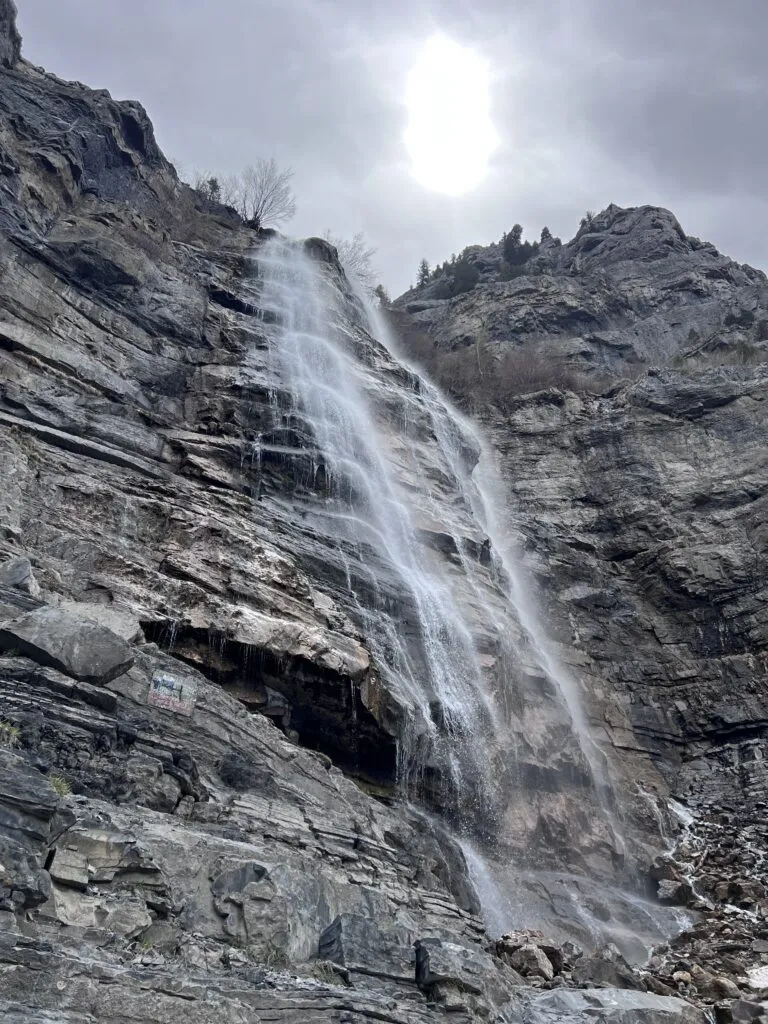
7. Battle Creek Falls
| Distance | 4.0 miles (round trip) |
| Elevation Gain | 1,800 feet |
| Difficulty | Moderate to Strenuous |
| Dogs Allowed | Yes (on leash) |
Battle Creek Falls is in Pleasant Grove at the foot of the Wasatch Range in Utah County. The trail climbs through the canyon to a waterfall dropping over rocky terrain into a small pool. At 4.0 miles round trip and 1,800 feet of gain it’s a legitimate effort. Dogs are allowed on leash. Spring through fall is the best window, with peak flow in April and May. Location: Battle Creek Trail Guide 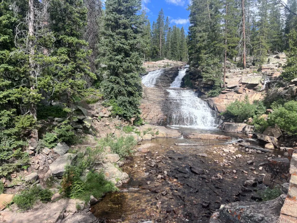
8. Horsetail Falls
| Distance | ~4.0 miles (round trip) |
| Elevation Gain | ~1,300 feet |
| Difficulty | Strenuous |
| Dogs Allowed | Yes (on leash) |
Horsetail Falls is in Alpine, accessible via American Fork Canyon. The waterfall plunges in a thin, powerful stream down a rugged cliff face. The hike is about 4 miles roundtrip with roughly 1,300 feet of gain. Peak flow is early summer on snowmelt. Dogs allowed on leash. Location: Horsetail Falls Trail Guide 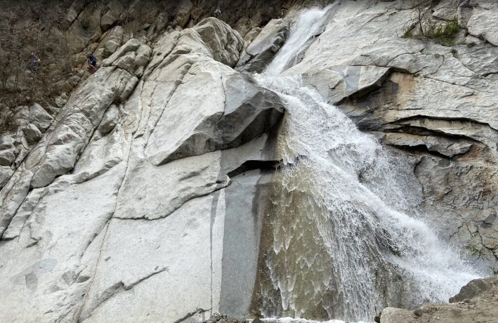
9. Grotto Falls
| Distance | 0.6 miles from gate (round trip) |
| Elevation Gain | Minimal |
| Difficulty | Easy |
| Dogs Allowed | Yes (on leash) |
Grotto Falls is in the Uinta National Forest near Payson. A short trail leads to a small, secluded waterfall in a sheltered grotto setting. In summer with the road open the trailhead is about 0.6 miles from the gate. Winter road closures extend the approach to about 6 miles. It’s a quieter waterfall that gets significantly less traffic than the canyon waterfalls closer to Salt Lake City. Dogs allowed on leash. Late spring through early fall is the best window. Location: Grotto Falls Trail Guide 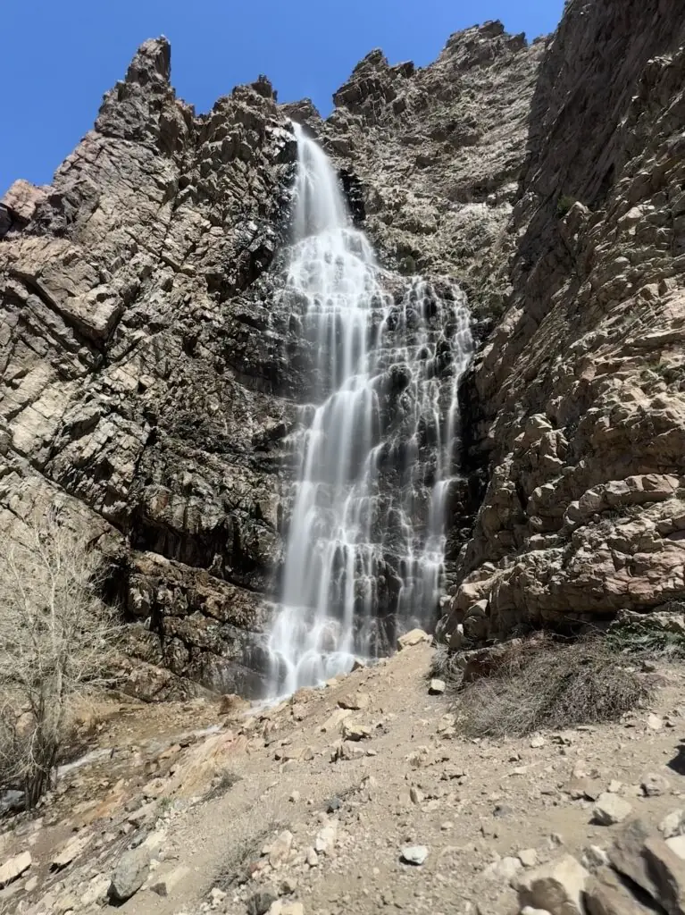
10. Upper Provo River Falls
| Distance | Roadside viewpoint |
| Elevation Gain | None |
| Difficulty | Easy |
| Dogs Allowed | Yes |
The Upper Provo River Falls are a series of cascades along the Upper Provo River in the Uinta-Wasatch-Cache National Forest, accessible from the roadside on Mirror Lake Highway (UT-150) east of Heber City. Individual cascades are viewable from pullouts with minimal walking. It’s the easiest entry on this list and works well as a stop on the Mirror Lake Scenic Byway drive. Summer through early fall is the reliable window. The byway itself is worth the drive regardless of the falls. Location: Upper Provo River Falls Trail Guide 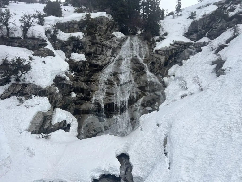
Best Time to Visit Utah Waterfalls
Spring and early summer (April through July) deliver the strongest flows across all falls on this list as snowmelt from the surrounding mountains feeds the canyon creeks. Late spring tends to be the sweet spot: flows are high but the trails are clear of snow and not yet baking in summer heat. Summer works through the season but start early to beat the heat on the exposed canyon approaches. Fall is excellent for the canyon ambiance and lighter crowds, though flows are lower. Winter access is limited and canyon waterfalls can ice over in ways that make approach trails hazardous.
Photography Tips
Overcast days are the best all-around condition for waterfall photography. Diffused light eliminates harsh shadows and lets the water and surrounding greenery render fully. On clear days, early morning before direct sun reaches the canyon floors is the practical window. A neutral density filter lets you run long exposures to smooth the water. A tripod is worth carrying for any fall where you want that silky water effect. Wide-angle lenses handle the canyon context. A macro lens picks up moss and spray detail at the base of falls like Donut and Lisa.
Where to Stay Near Salt Lake City
Salt Lake City anchors the northern end of this list. Provo/Orem anchors the southern end. Both corridors have full chain hotel inventory. For hotel points check Marriott Bonvoy, IHG Rewards, and Hilton Honors for options near the specific falls you’re targeting. Staying in Sandy or Cottonwood Heights puts you closest to the canyon trailheads for the SLC-area falls.
Plan These Hikes
AllTrails has maps for every trail on this list with downloadable offline routes and recent user conditions. Canyon trails in the Salt Lake area lose cell service quickly. Download maps before you leave. AllTrails Pro is worth it for a multi-fall trip where you’re navigating several canyons across different days. Offline maps and GPS for the full list in one download before you leave the valley.
Chase the Quiet
Utah keeps building more things to look at. The canyons around Salt Lake City have been producing waterfalls for a lot longer. Ten of the best ones are within a couple hours of downtown. Get out there.
Support the Adventure
To make your walls less boring, check out my photography portfolio and bring a piece of the wild and my story into your home. If you’d like to fuel future adventures, you can donate a coffee on Ko-Fi. Every cup keeps me chasing sunrises and stories. When you shop using my affiliate links, every click helps support this blog at no extra cost to you. It’s a small way to keep Unicorn Adventure alive and kicking while I keep exploring. Subscribe to my mailing list for future updates, new stories, and behind-the-scenes adventures. Stay connected with me on Instagram and Facebook for more photos and daily inspiration. Thanks for being part of the journey, Unicorn Squadron!

Theo Maynard is a landscape photographer and adventure blogger based in Salt Lake City. He chases remote desert and mountain light across the American West, documents it all solo, and shares the journey through Unicorn Adventure. He’s on the autism spectrum, and that’s not a footnote, it’s the whole story. He creates to inspire others to get outside, chase what lights them up, and live their best possible life. Unapologetically himself.
1 Comment
Skyline Drive OHV Utah: Complete Off-Roading Guide
[…] The Wasatch Front is packed with adventure. For more off-roading, the Inspiration Point OHV Route near Mantua climbs to one of the best viewpoints in northern Utah. Out on the Great Salt Lake, Antelope Island State Park offers bison, sunsets, and easy hikes like Buffalo Point, Lady Finger, and the bigger climb up Frary Peak. Up north in Ogden, hike Waterfall Canyon. Closer to Salt Lake, check out Ensign Peak for a quick city view, or browse my top waterfalls near Salt Lake City. […]